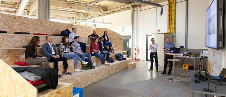
SICK is excited to announce a challenge for universities across the US and Canada to support innovation and student achievement in automation and technology. Fifteen teams will be selected to participate in the challenge, and the chosen teams will be supplied a 16-layer, 360° SICK LiDAR sensor (multiScan) and accessories. The teams will be challenged to solve a problem, create a solution and bring a new application that utilizes the SICK scanner in any industry.
Registration is Closed for the 2023 – 2024 Academic Year.
About the multiScan100
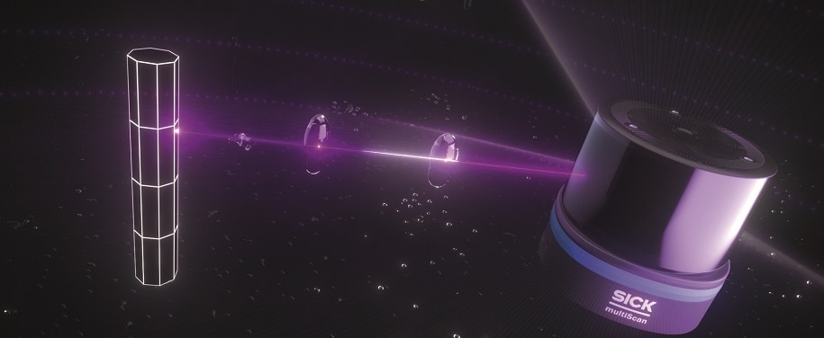
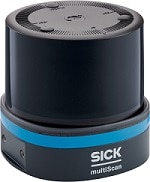
The multiScan100 3D LiDAR sensor is a real multi-talent. Thanks to its high-resolution 0° scan layer, it is suitable for mapping and localization. The sensor generates a 3D point cloud that can be used to detect people and objects. It effortlessly detects fall edges and overhanging obstacles. This is how it reliably protects mobile platforms from accidents and failures. Thanks to its large working range, the sensor is also suitable for stationary applications. The multiScan100 can be individually configured and easily integrated. In addition to the device, there is a continuously growing modular software system with apps and software add-ons. A system plug for common interfaces ensures quick and flexible implementation.
At a Glance
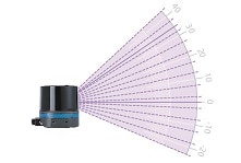
- 16 fanned scan layers, vertical aperture angle of 65°
- Horizontal aperture angle of 360°
- High-resolution 0° scan layer
- High measurement accuracy and low measurement noise
Awards
The 3 winning teams will win a cash award of
2023 TiM$10K Challenge Winners
First Place – University of Pennsylvania with SauberBOT
First place went to team 1 from the University of Pennsylvania and their invention of the SauberBot, a robot that “cleans smarter, not harder.” Inspired by the German word for clean, the SauberBOT makes cleaning hazard-free, efficient, and fast. After talking to experts from the cleaning industry, the team’s hope was to ideate a product and a vision that would revolutionize how everyday people and industries clean.
Second Place – Northeastern University with PubPark
Current parking enforcements and public parking systems are extremely outdated and inefficient given the capabilities of technology. The current systems in place utilize both chalking and license plate regulation systems typically done by parking enforcement officers, but there is frustration around limited visibility to available public parking along with safety and environmental concerns.
The second-place team from Northeastern University proposed a solution to this problem, coined “PubPark,” a system that tackles both issues involving parking enforcement and public parking. The parking enforcement system can show open parking spots in real time, can ticket parking violations, and gives civilians an opportunity to report parking violations.
Third Place – University of Pennsylvania with SkyView
To apply uninterrupted power to users, power grids must be maintained. With increases in extreme weather events such as hurricanes, floods, and wildfires, inspecting grids is of high importance, but grid inspection can be labor-intensive and time-consuming, and many areas are out of human reach. There is a need for a solution to reduce safety risks and power outages among power grid maintenance – that’s why SkyView was invented.
The third place winners, team 3 from the University of Pennsylvania, created SkyView using the 2D SICK LiDAR sensor to capture data of power lines and its immediate surroundings. It aims to identify potential minor issues in power grids before they become major problems. Because the LiDAR can detect potential threats, the risk of potential power outages and safety hazards should be lessened.
